
In a significant development for Nigeria’s socio-economic landscape, the ACReSAL Project has initiated the creation of a comprehensive Monitoring and Evaluation (M&E), Management Information System (MIS), and Geographic Information System (GIS) data system. This innovative initiative aims to streamline project documentation and enhance tracking of implementation activities, thereby facilitating informed decision-making and effective reporting.
The state-of-the-art, web-based system is designed to be accessible across various devices, utilizing a centralized architecture for real-time data processing and management. With cloud-computing infrastructure, it promises reliability and scalability while incorporating advanced Geospatial Information capabilities.
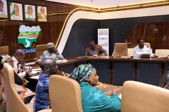
During an inception meeting with technology partner Broad Height Technologies, Abdulhamid Umar, National Project Coordinator for the ACReSAL Project, highlighted the importance of this initiative. “We recognize that our work spans various sectors and institutions. This milestone reflects our commitment to leveraging technology for efficient monitoring and reporting of the ACReSAL Project’s impact,” he stated.
Umar commended Broad Height Technologies for its extensive expertise and proven track record in delivering high-quality solutions. He extended congratulations to the company for being selected as the most responsive bidder through a rigorous procurement process, emphasizing the project’s long-term vision for institutional and infrastructural development.
Mr. Ross George, CEO of Broad Height Technologies, expressed enthusiasm about winning the contract amid fierce competition. “Our familiarity with the GIS component provides us a unique advantage, and we are confident in our ability to deliver a high-standard system that meets the project’s objectives,” he affirmed.
Dr. Joy Iganya Agene, Task Team Leader for the ACReSAL Project, underscored the need for regular engagement throughout the implementation process, given the project’s urgency and significance. She reiterated that the new system would serve as a central hub for documenting the impacts and activities of the project.
The implementation of the M&E, MIS, and GIS system promises several key benefits, including:
- Improved Data Management: Facilitates accurate and prompt data collection, ensuring informed decision-making.
- Enhanced Monitoring and Evaluation: Supports project progress tracking and timely adjustments.
- Better Spatial Planning: Optimizes resource allocation through effective geospatial data use.
- Increased Transparency: Promotes accountability and builds trust among stakeholders.
- Informed Decision-Making: Provides timely insights for responsive project management.
- Improved Project Outcomes: Leverages data for enhanced interventions and impact.
- Scalability and Replicability: Allows successful strategies to be scaled and replicated in different contexts.
- Stakeholder Engagement: Enhances communication and participation of stakeholders to meet their needs.
- Resource Optimization: Reduces waste and ensures efficient project resource utilization.
- Long-Term Sustainability: Contributes to measurable and replicable project impacts for sustainable development.
By establishing this reliable M&E, MIS, and GIS system, the ACReSAL Project is poised to enhance its operational effectiveness and drive significant developmental impact across Nigeria.
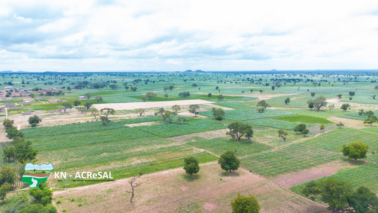
ACReSAL: Greening the environment, saving lives.